3K Trek Through Desert and Mountains
Part 1: Desert (Scroll down for Malibu and Mountains and Favs)
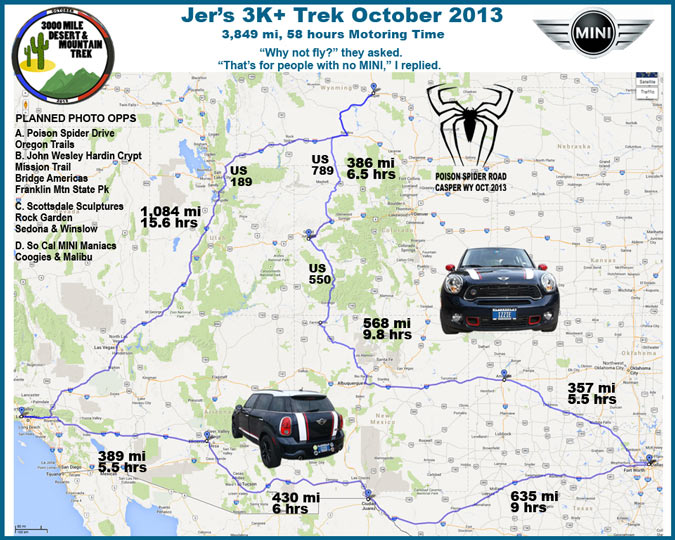
 Trip logos for 3K Trek, Spider Road, MINI, MINI club Metroplex, MINI club So Cal
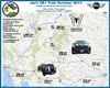 Trip map with route and destination highlights, Trek ended up as a 4K trip
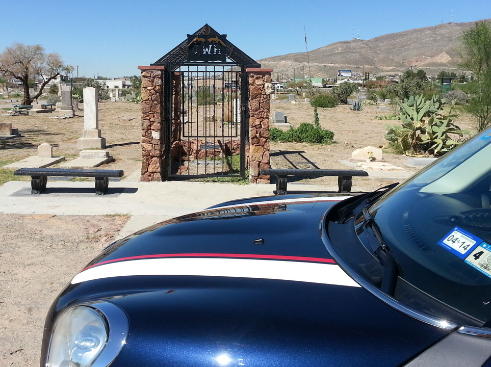
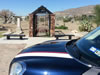 John Wesley Hardin Grave in El Paso Cemetary, initials at top of locked gate
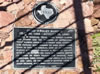 Closeup of plaque inside John Wesley Hardin grave site
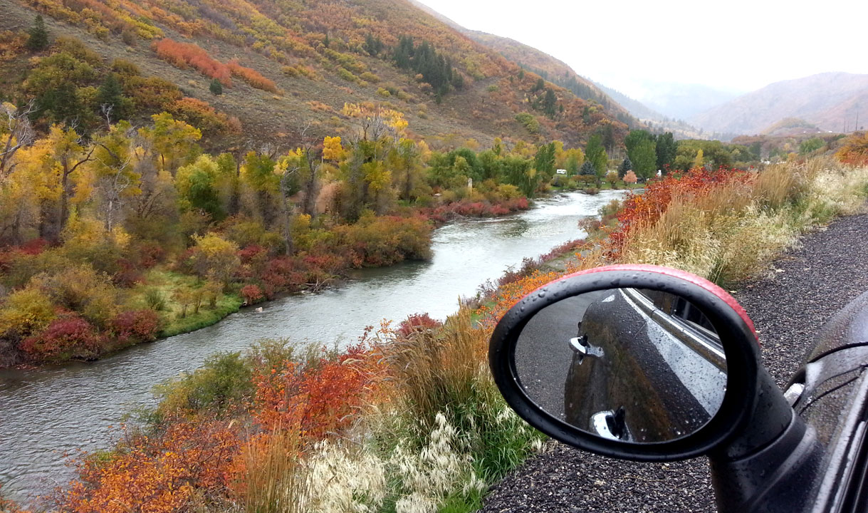
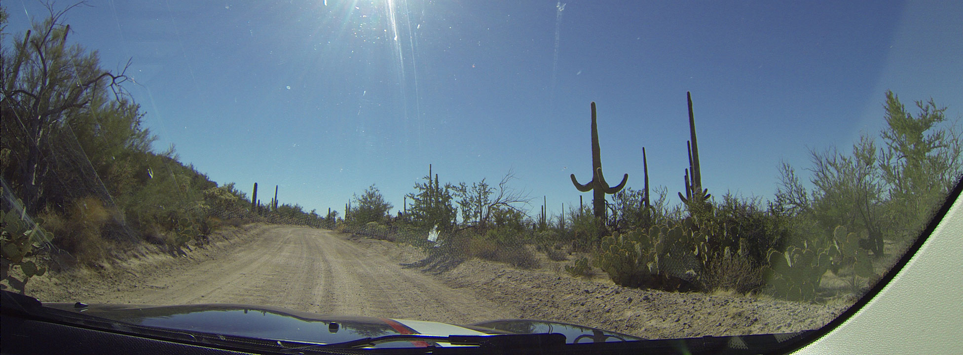
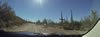 Dash cam: driving in the Sauguaro National Park near Tucson
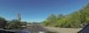 Dash cam: in the Sauguaro National Park near Tucson
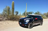 It is deathly quiet, there are almost no sounds in the desert
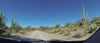 Dash cam: in the Sauguaro National Park near Tucson
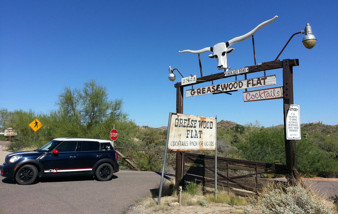
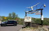 Greasewood Flats watering hole in the Scottsdale desert
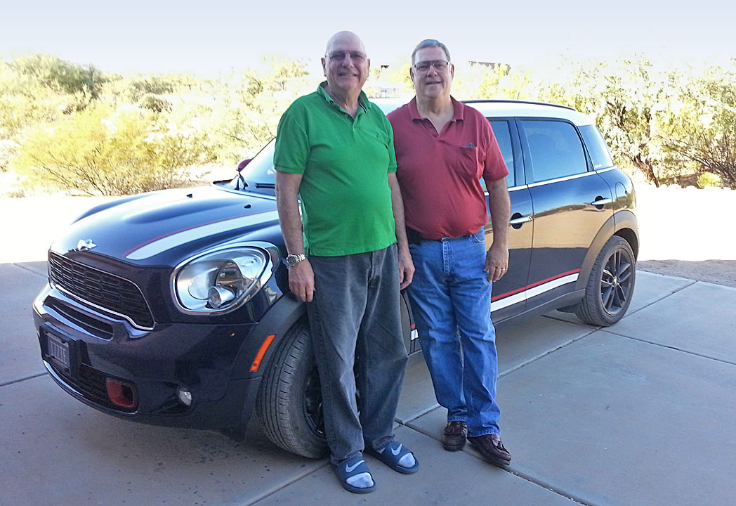
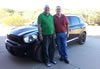 Chuck and Jer in Scottsdale
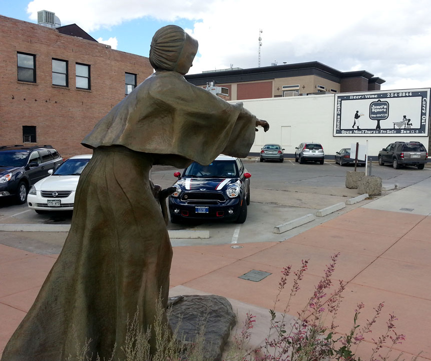
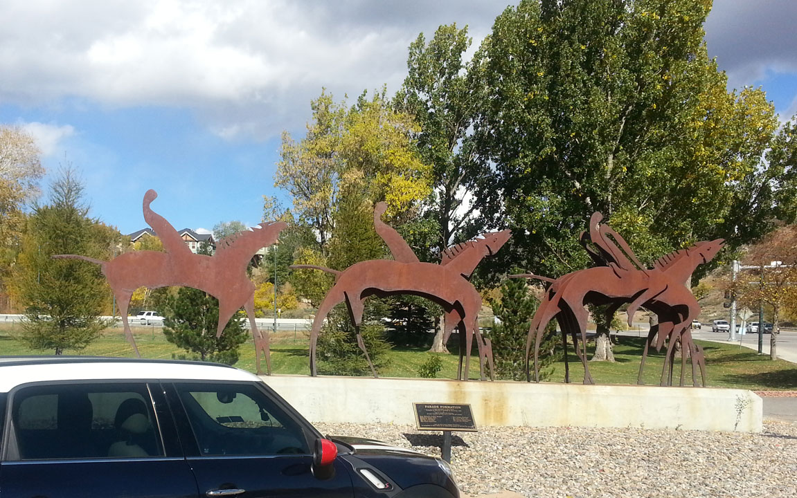
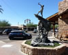 Sculpture in Old Scottsdale Town
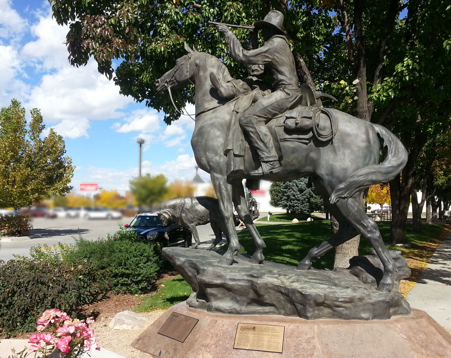
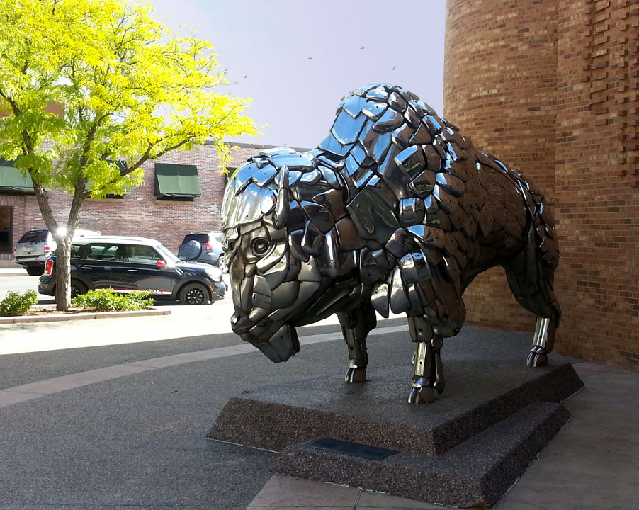
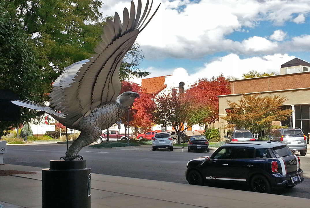
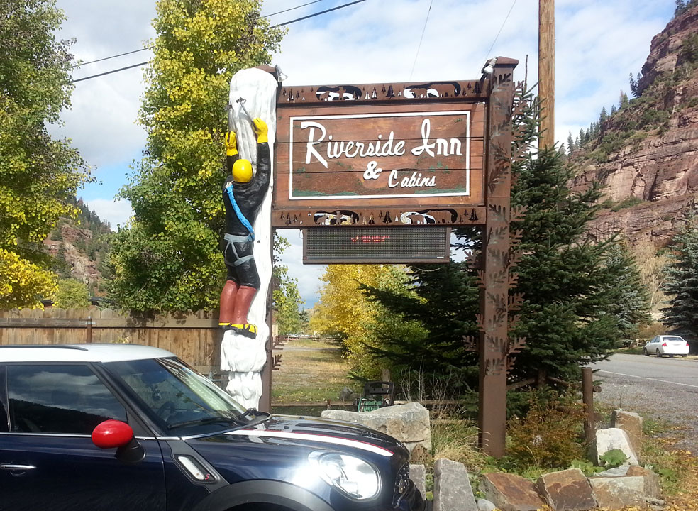
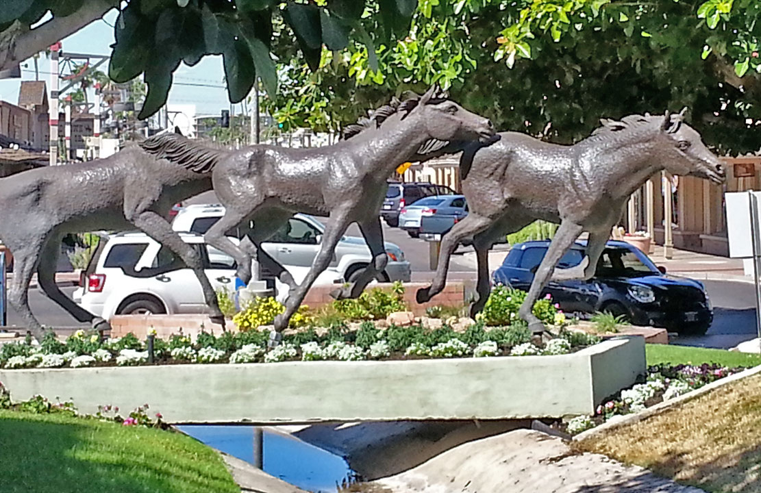
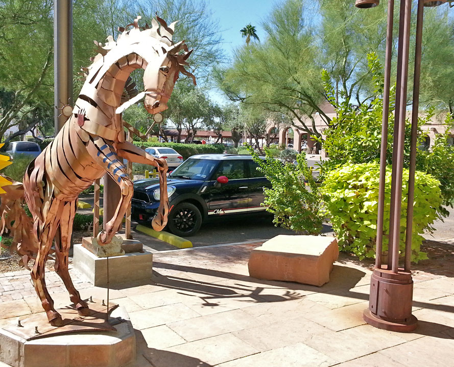
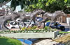 Horse sculptures were an objective for the Arizona part of the 3K Trek
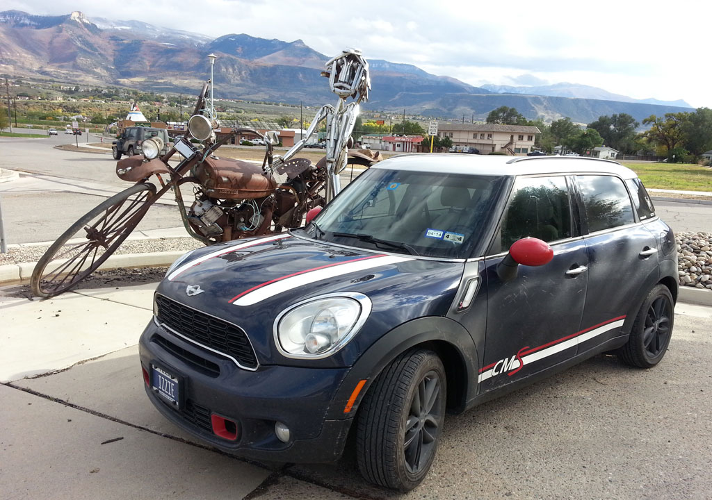
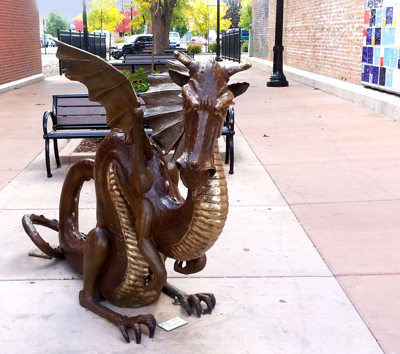
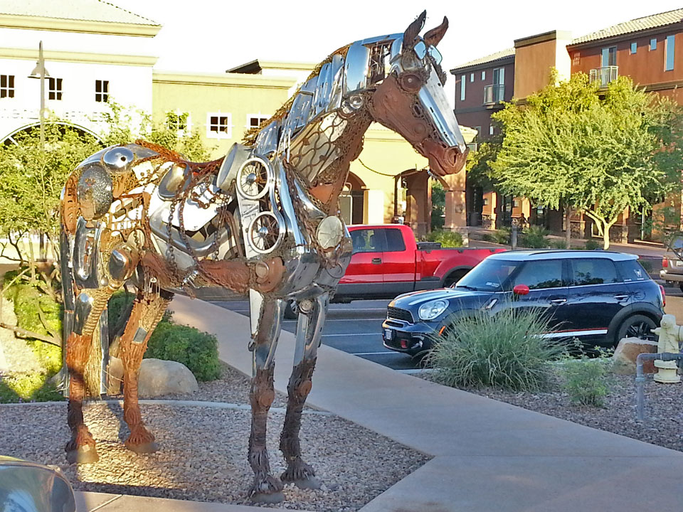
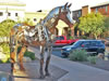 This sculpture in Fountain Hills AZ is made up of old and various metal items
 A copper rearing horse sculpture in Old Scottsdale Town
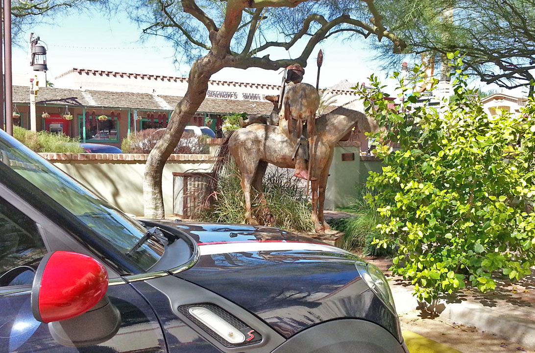
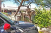 An indian and horse sculpture in Old Scottsdale Town
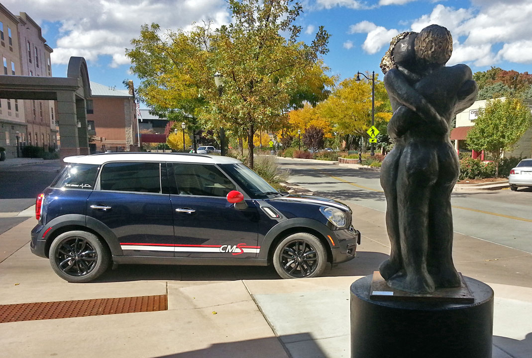
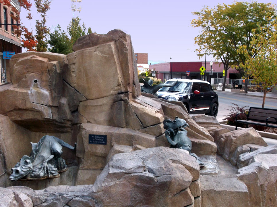
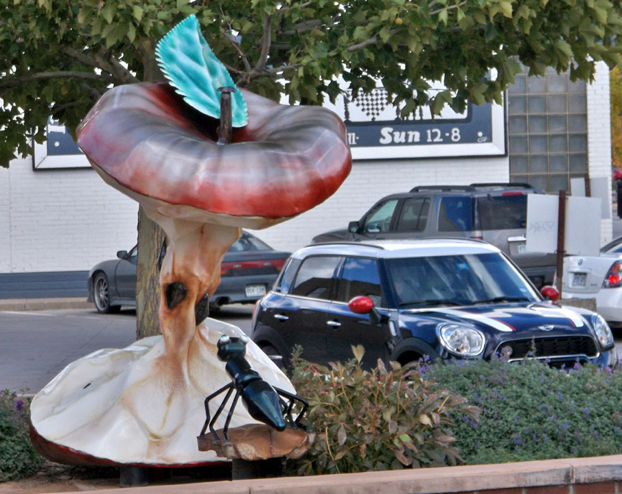
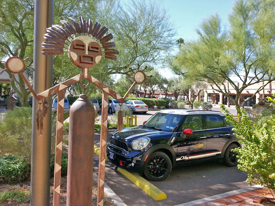
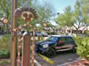 Not a horse, but an irresistable sculpture in Old Scottsdale Town
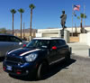 Unexpectedly saw this museum near Indio CA, note dog, Wm the Conqueror
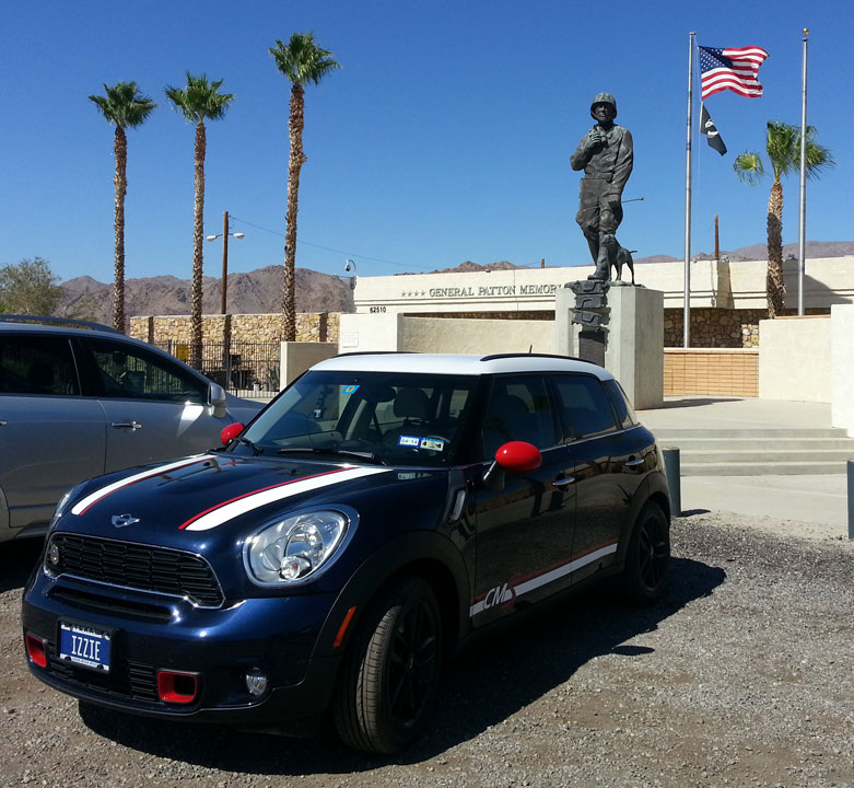
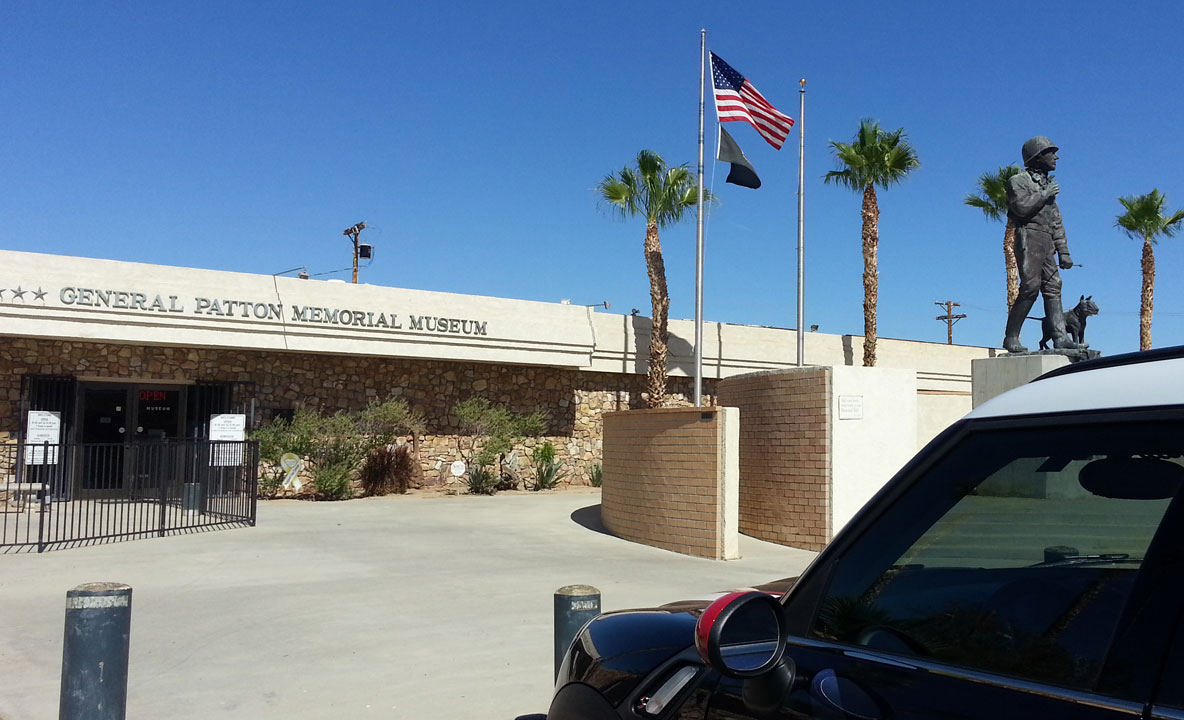
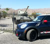 Gen Patton Museum featured tanks and other WWII desert armored vehicles
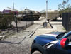 Outdoor plaque describes Patton opening this desert camp for training troops
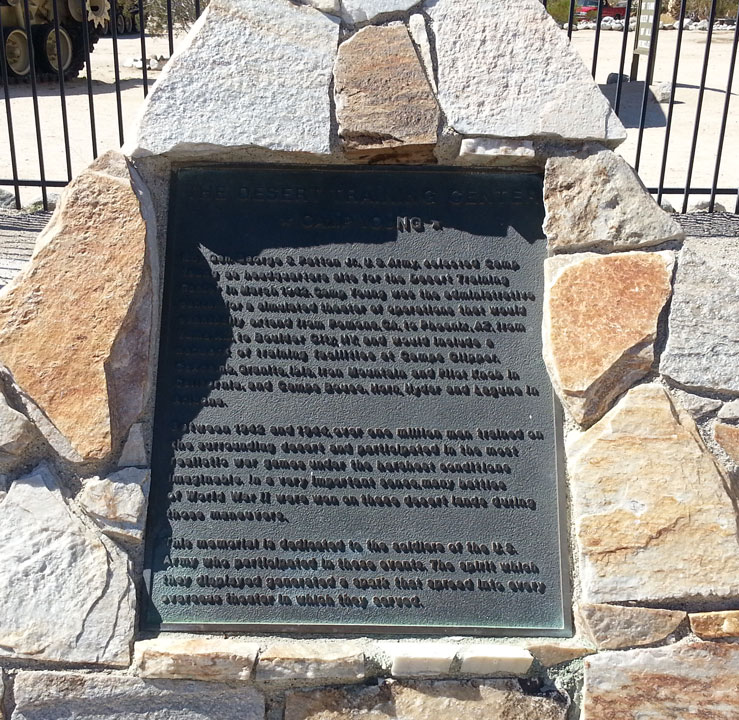
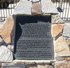 Plaque close-up, over 1,000,000 troops trained here for desert deployment
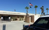 William the Conqueror pet is more visible in this view
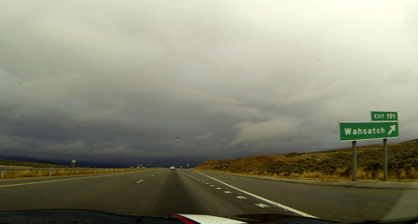
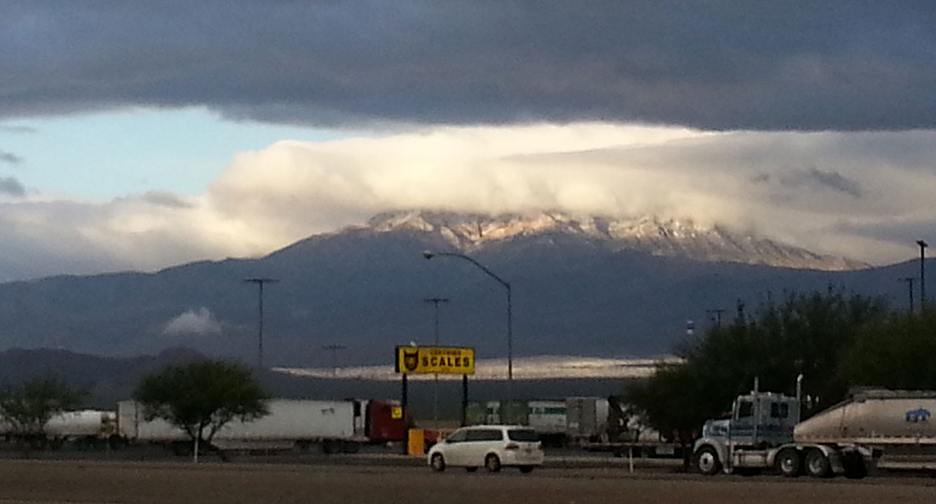
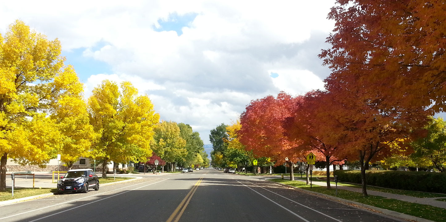
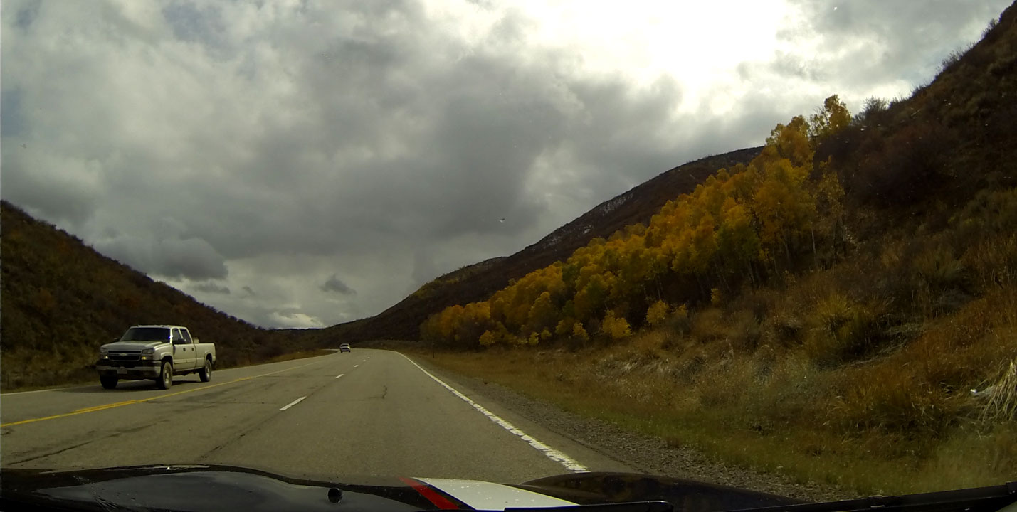
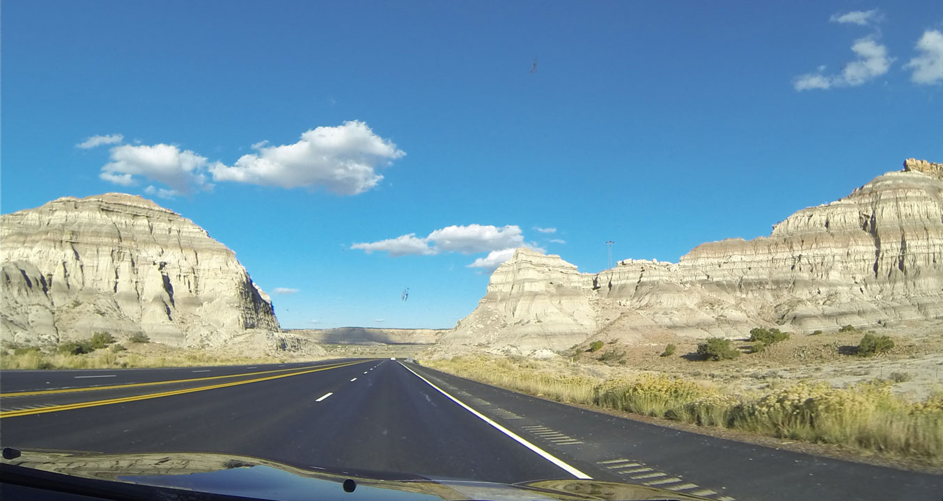
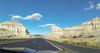 Dash cam: New Mexico desert is quite different from Arizona and California
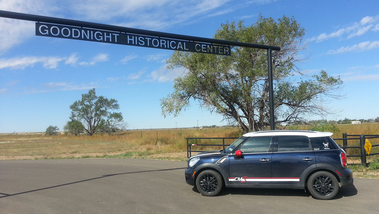
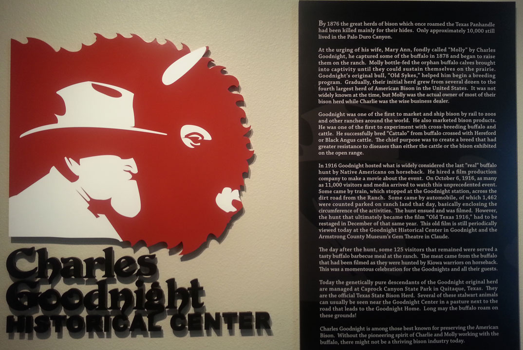
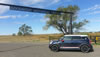 Unexpectedly ventured into Charles Goodnight Center south of Amarillo
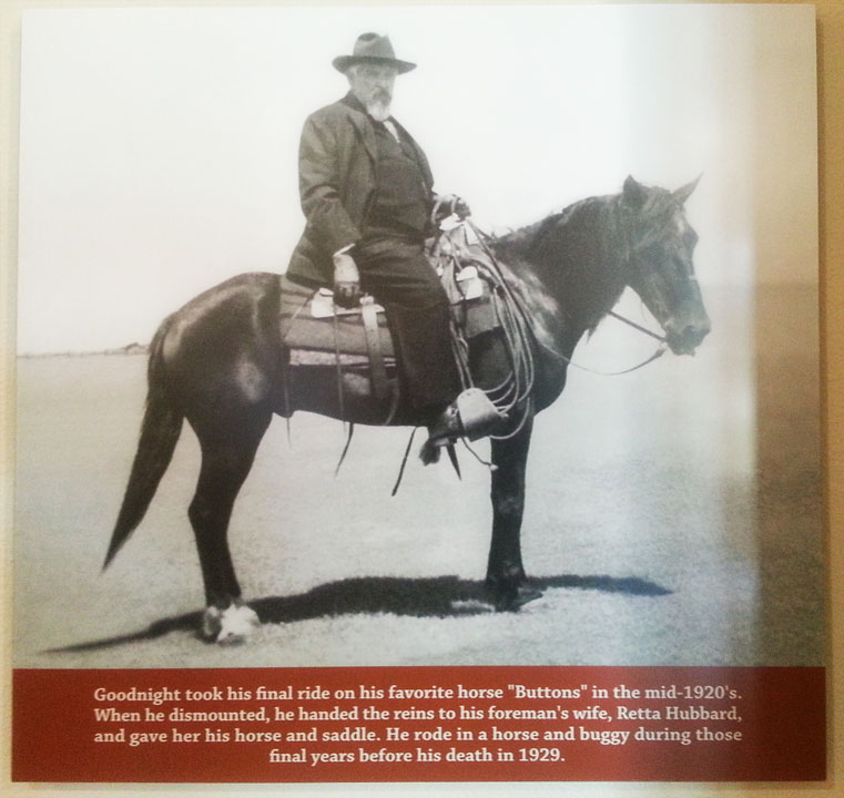
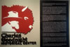 Goodnight is famous for indian battles about his ranch and saving buffaloes
 In 1896 he and wife, Mary Ann, began collecting the last of the buffalo to breed
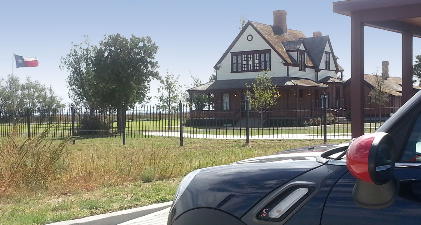
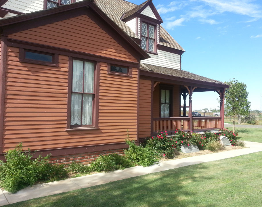
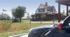 The Goodnight ranch house has been restored to what it was in the early 1900s
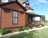 The interior and separated kitchen - fires were a danger - is restored also
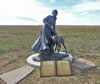 An outdoor sculpture of Mary Ann bringing a buffalo calf home to the ranch
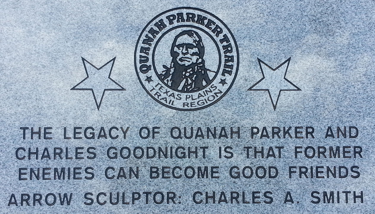
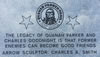 Quanah Parker, Comanche chief, son of the kidnapped Cynthia Ann Parker
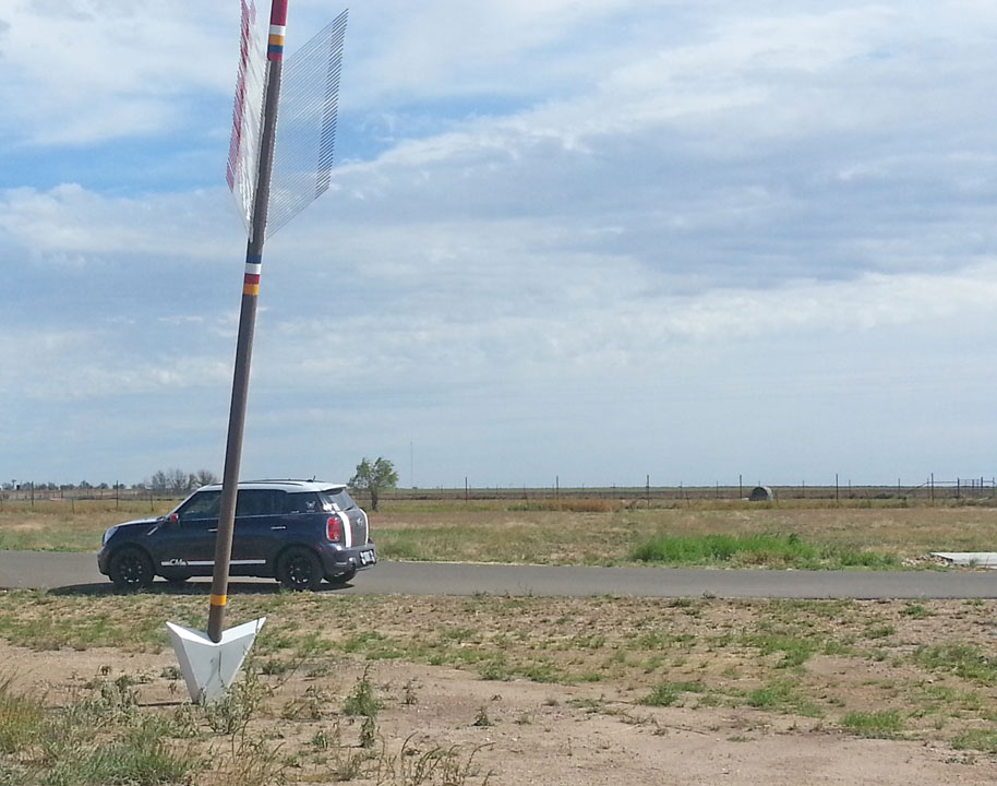
 The 30' tall arrow sculpture referred to in the plaque in the previous photo


Part 2: Malibu (Scroll down for Mountains and Favs, or up for Desert)
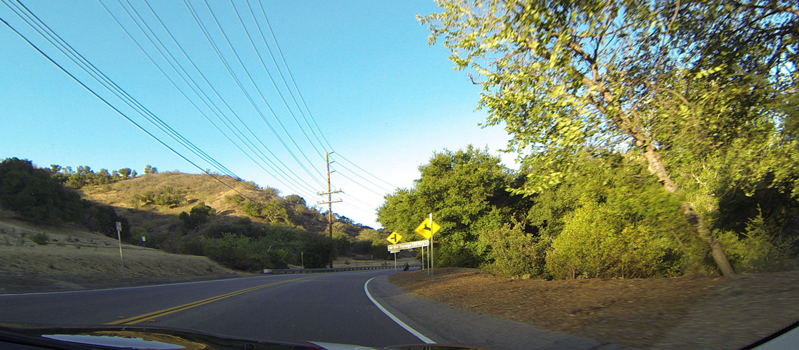
 Dash cam: Puerco Canyon Rd from Hwy 101 to Malibu and Pacific Coast Hwy 1
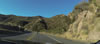 Dash cam: Puerco Canyon Rd from Hwy 101 to Malibu and Pacific Coast Hwy 1
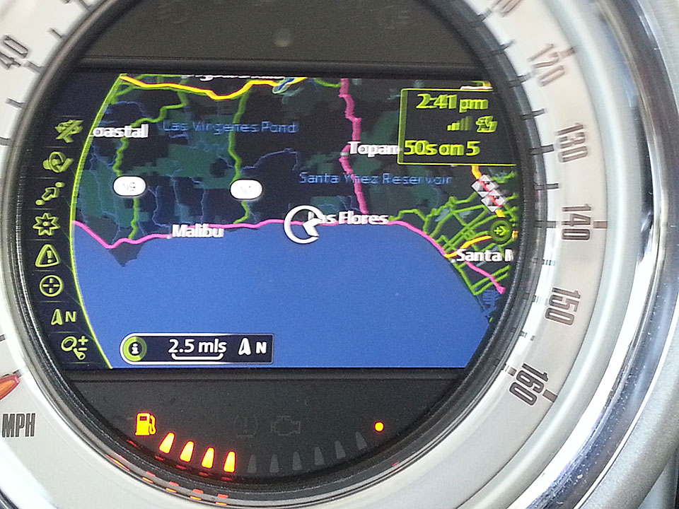
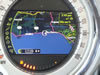 NAV system shows Malibu Beach is on an east-west portion of the Pacific Coast
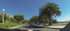 Dash cam: Beautiful Pepperdine Univ in Malibu at Pacific Coast Hwy 1
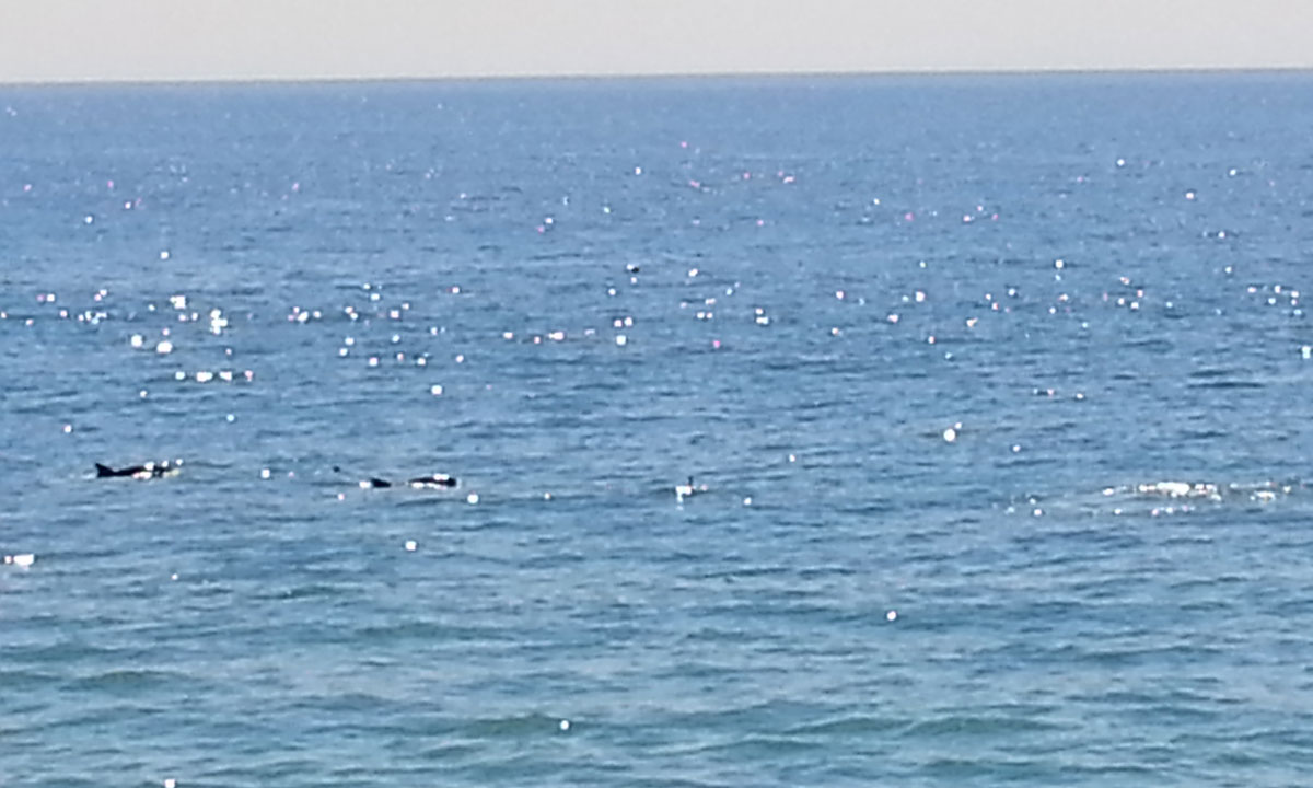
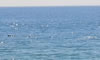 Porpoises in Malibu Pacific Ocean swimming 100 yards offshore
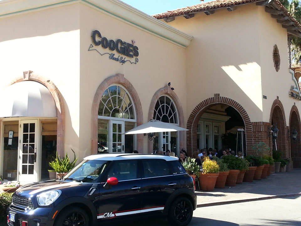
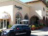 Coogies Beach Cafe, site of the Malibu breakfast meeting of the SCMM club
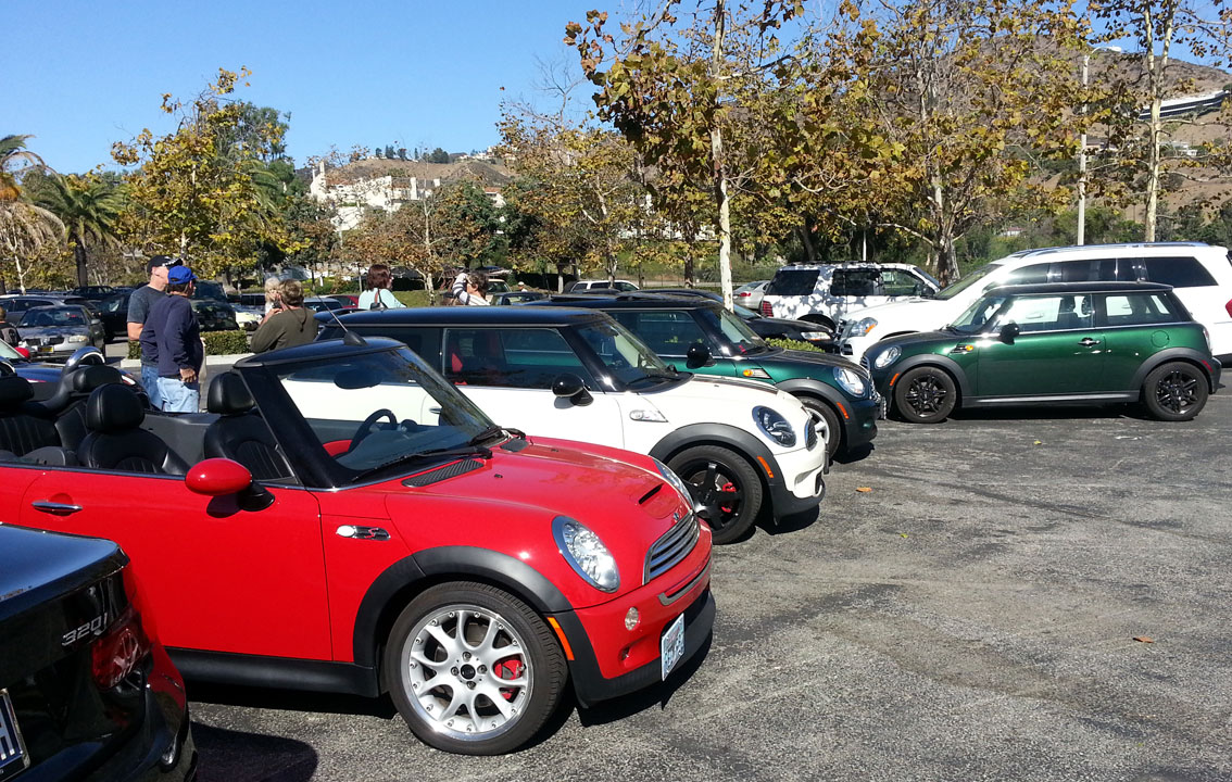
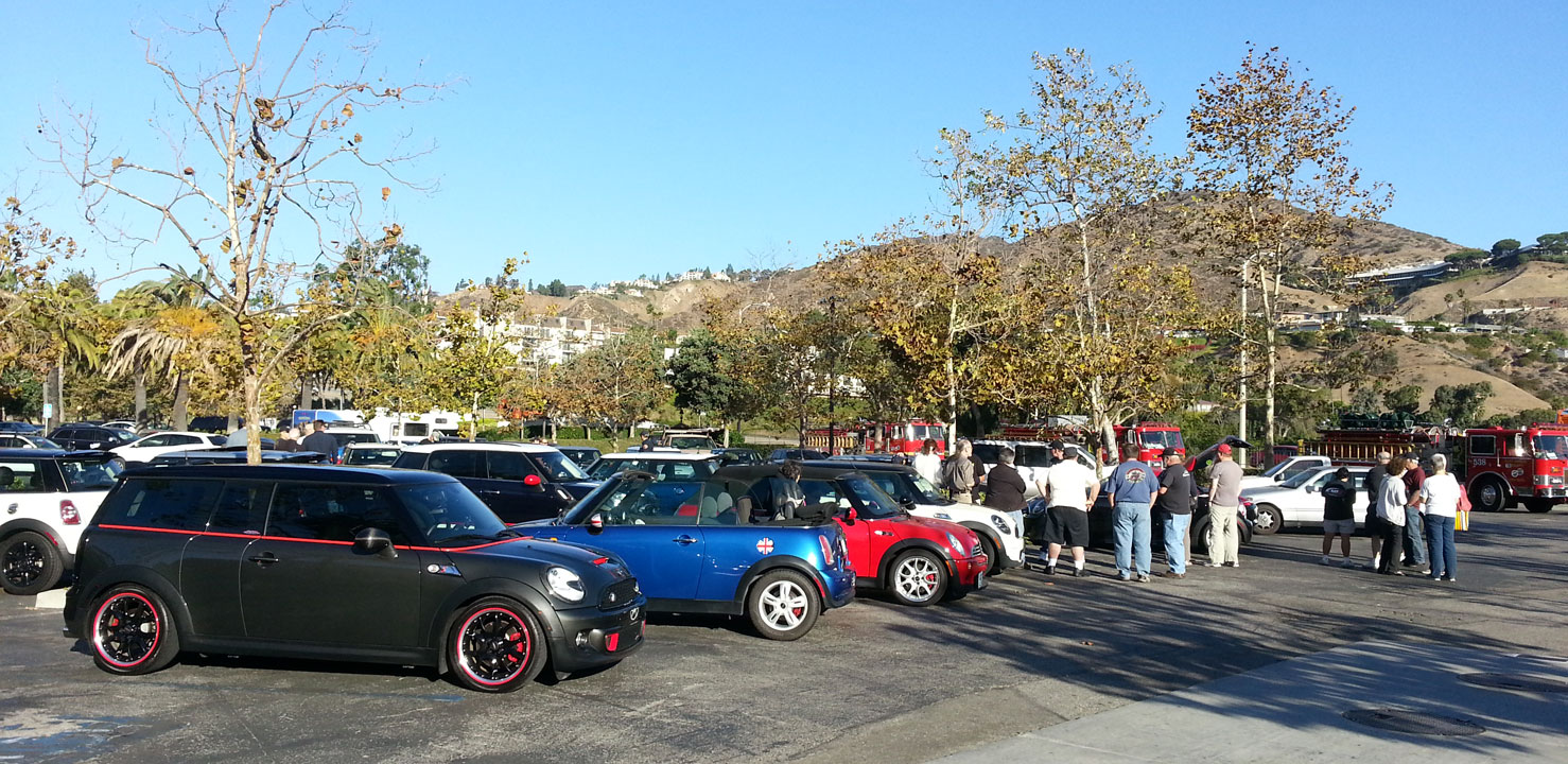
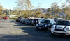 The MINIs start arriving and parking under the watchful eye of the Fire Dept
 More MINIs and…
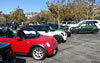 More MINIs up to about 40 arrive
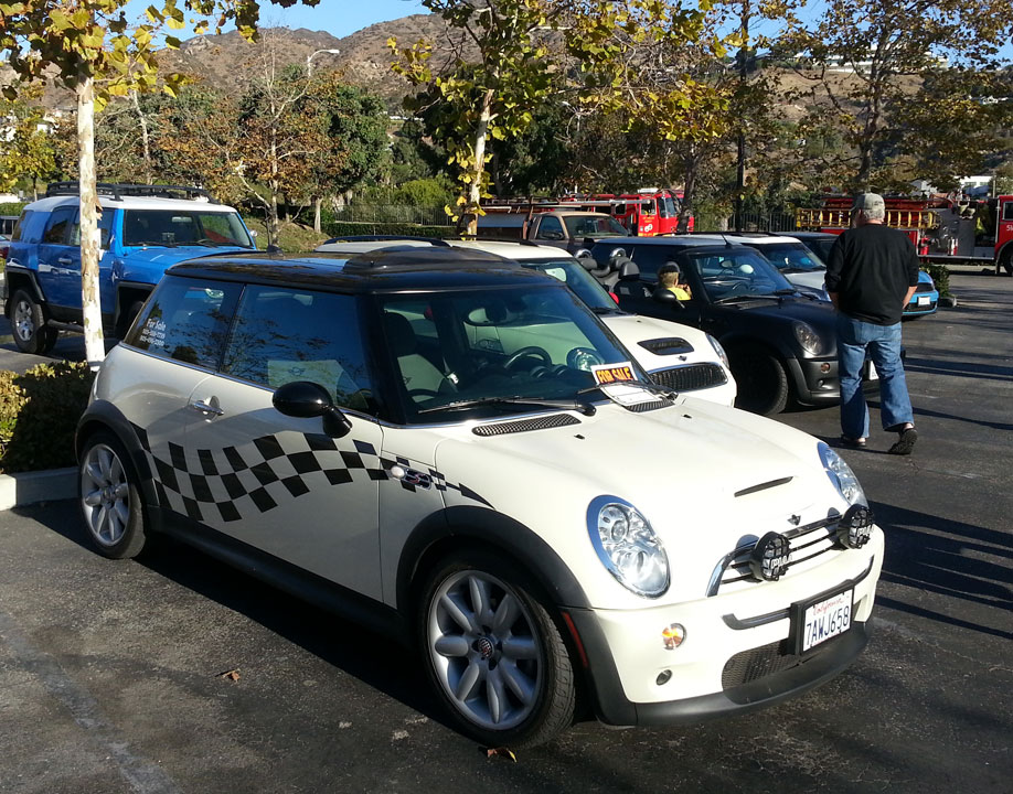
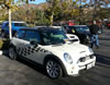 Fun checkered flag stripes on this hard top model
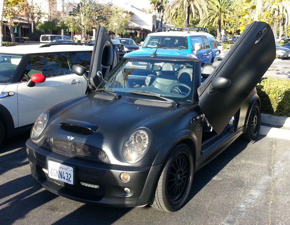
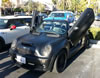 Scissor doors modified MINI by the owner, hinged at top front of doors, swings up
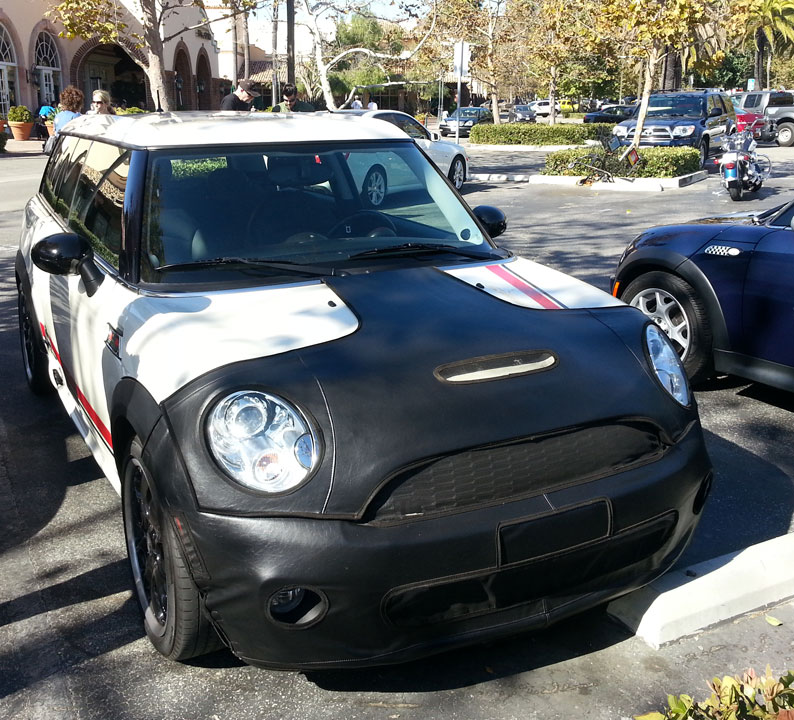
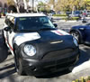 Medallion model MINI, special JCW, with black leather bra
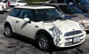 Eyelashed MINI hardtop
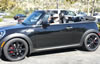 Convertible MINI motorer Kurt fitted out in his drive attire
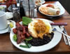 Coogies Signature corn potato cake in corn tortillas, topped with two eggs, jack cheese, oven dried tomatoes and avocado with black beans and a spicy house ranchero sauce
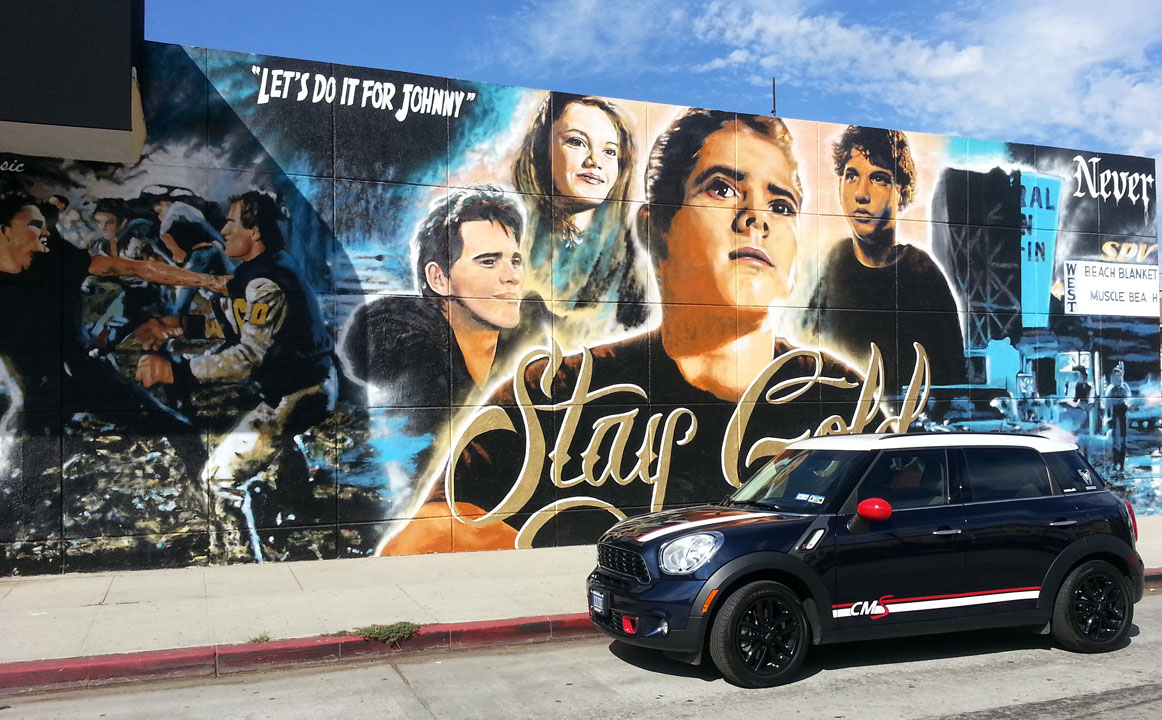
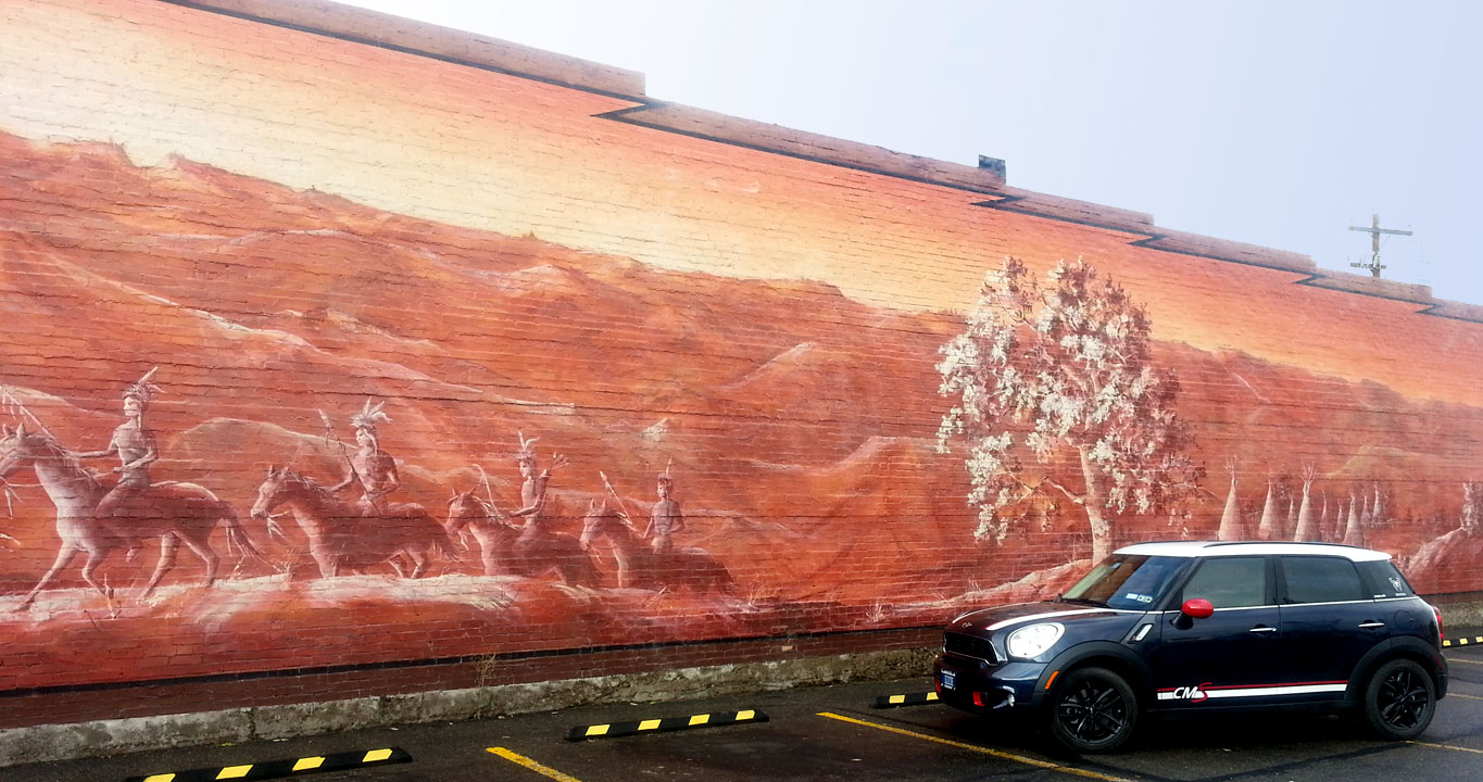
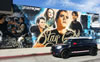 Hollywood type street art on Ventura Blvd
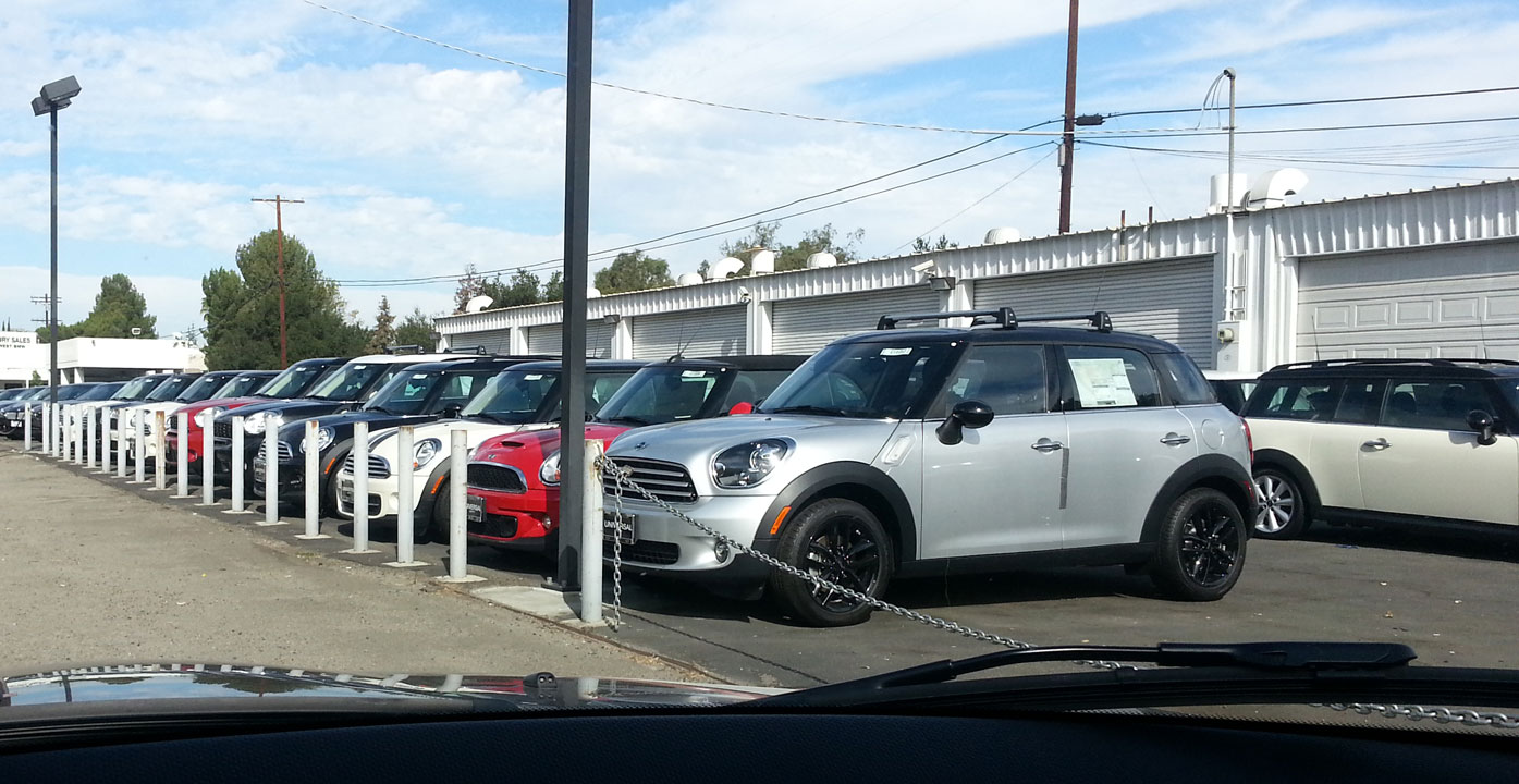
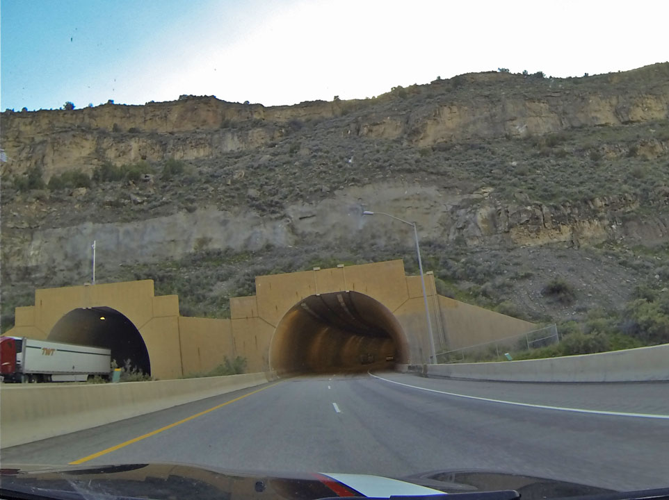
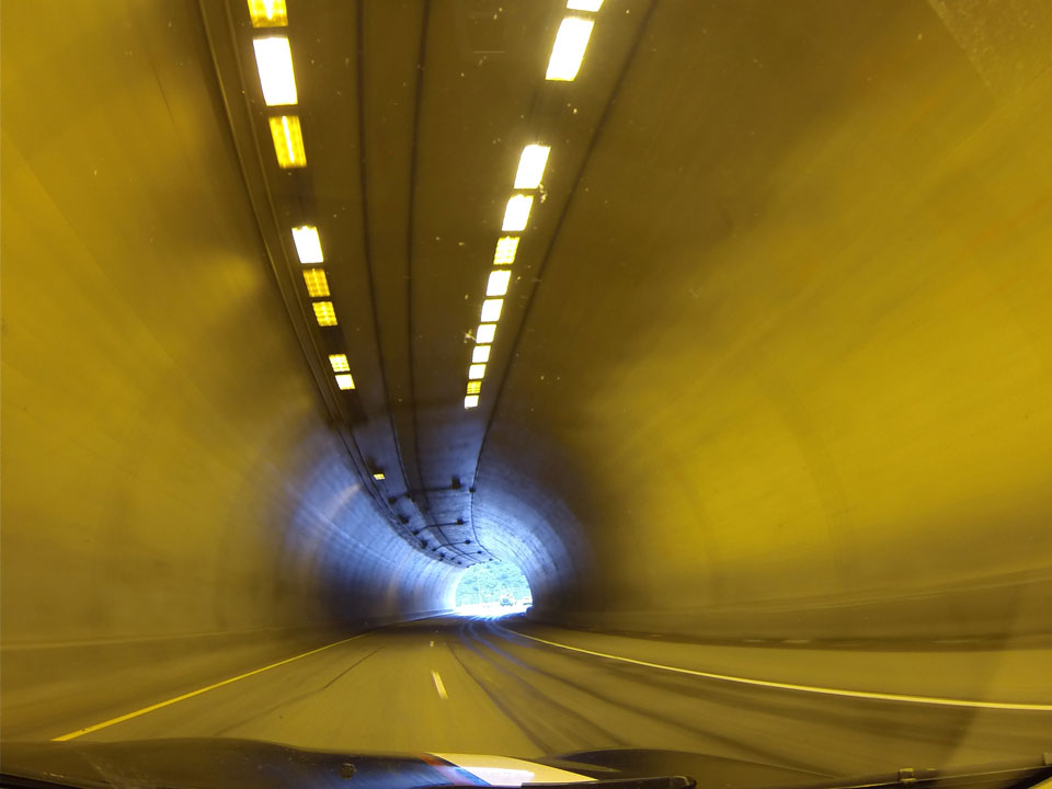
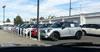 Dash cam: Southern California is home to many MINIs
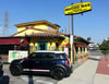 Many favorite little restaurants in the valley, like Mucho Mas in Burbank…
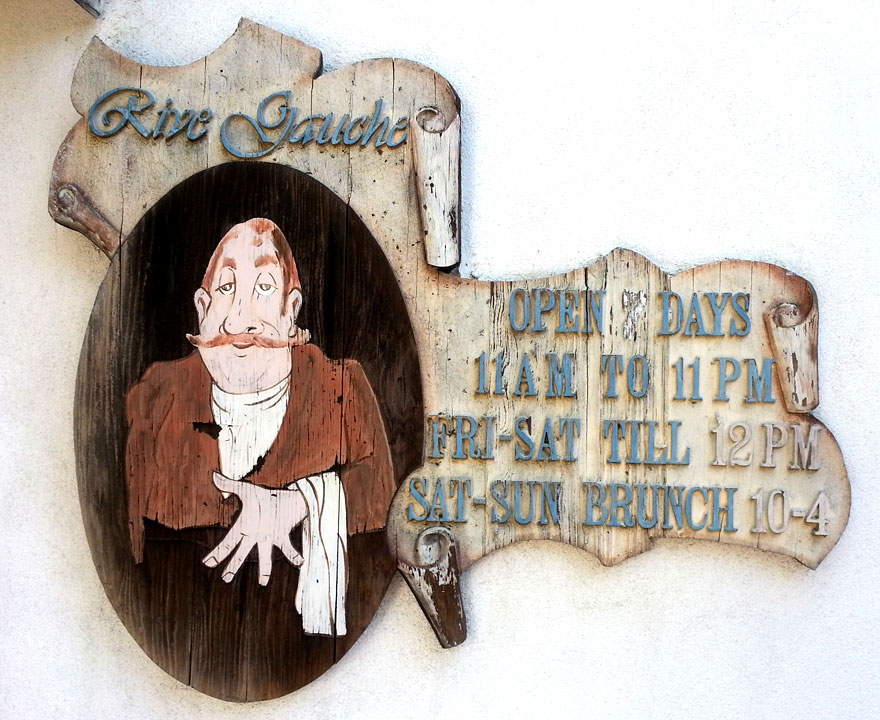
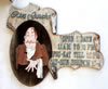 and Rive Gauche on Ventura Blvd
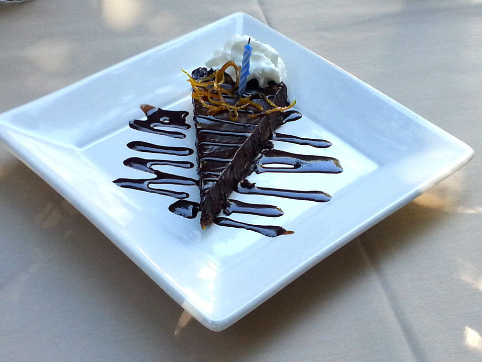
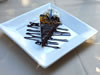 Happy Birthday brunch pie for Jer
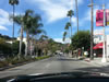 Dash cam: Street level view of Ventura Blvd shops and restaurants
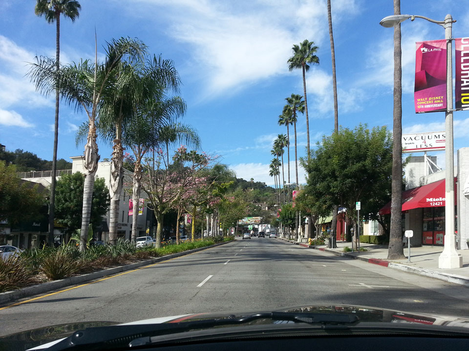
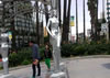 Hollywood gazebo structure with unusual pillars